Mapping Black Owned Property
The pervasive housing segregation practices that are found in twentieth-century Northern Virginia should not be interpreted as meaning that Black property owners disappeared from the region completely. Black residents continued to purchase and own land while resisting attempts by white residents, developers, and government officials to drive them out. For many families, this land, often acquired by newly emancipated men and women before and after the Civil War, had been passed down through the generations. For them, property ownership not only spoke to economic stability and generational wealth but also symbolized their family’s freedom and right to full citizenship.
The map available below is a visualization of Black resistance and resilience through the continuation of property ownership and development. The data represented here is from the 1964 tax books for each jurisdiction, including the Cities of Alexandria, Falls Church, and Fairfax and Arlington and Fairfax Counties. This data had to be transcribed from tax books and then cross-referenced with tax maps that each jurisdiction had created to assist with its property assessments. In some cases, other maps had to be referenced to locate Black-owned parcels.
Why 1964?
We used the last year in which Virginia’s tax books were segregated to bring to light Black owned property in NoVA. Mapping later years in this way requires access to other forms of data, such as the 1960 and 1970 censuses, which are only available in aggregate forms. Prior to 1964, Virginia’s tax records were recorded by race. The practice changed as a result of a lawsuit that went to the US Supreme Court.
In November 1963, a group of Northern Virginians filed a federal lawsuit against the Commonwealth’s Board of Elections, claiming that the “(s)eparation of white and colored on the poll tax, residence-certificate and registration lists as well as on the assessment rolls renders these provisions invalid under the equal protection clause of the Fourteenth amendment.” 1 Each jurisdiction based their real estate taxes on the amount of land owned and structures present on each parcel, but Virginia had added an additional requirement to segregate these records in the early 1890s. For residents to review their tax information at the local courthouse, they first had to tell someone their race to be given the correct tax book. Three federal judges in the U.S. District Court understood the potential danger of this system and agreed with the plaintiffs, noting that “[n]o form of state discrimination, no matter how subtle, is permissible under the guarantee of the 14th Amendment freedoms.” 2 Virginia appealed the ruling to the U.S. Supreme Court, which affirmed the lower court’s ruling in the cases, Virginia State Board of Elections et al. v. E. Leslie Hamm et al. (1964) and Gladys Quander Tancil et al. v. William P. Woolls et al., Judges (1964).
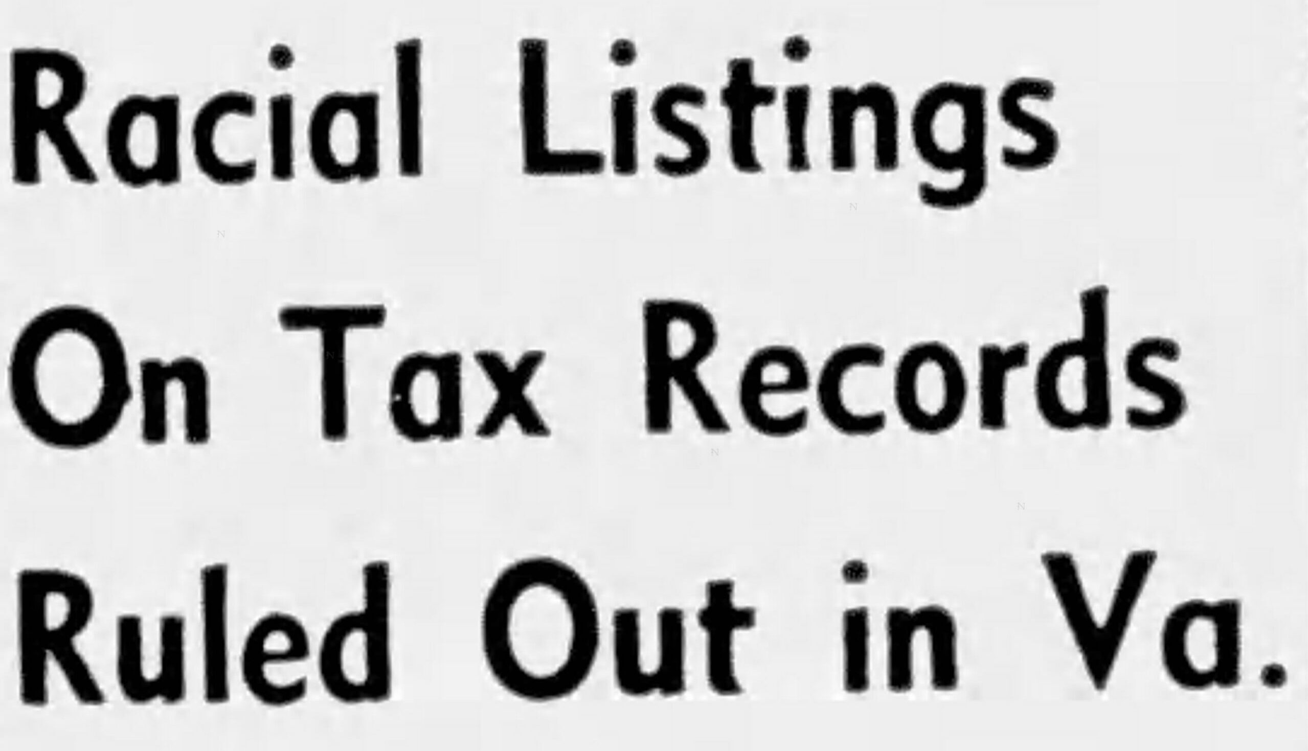
The U.S. Supreme Court’s decision (as well as the lower courts) on the racial segregation of government documents produced headlines throughout Virginia.
Illustration #1: Headline from the Daily Advance (Lynchburg, VA) on October 26, 1964.
We are also researching additional points in time to provide further insights into historical patterns of resilience shown by members of the Black community in the face of residential segregation. These maps will be made available in the future to show how neighborhood formation(s) changed over time.
Visualizing Resistance & Resilience
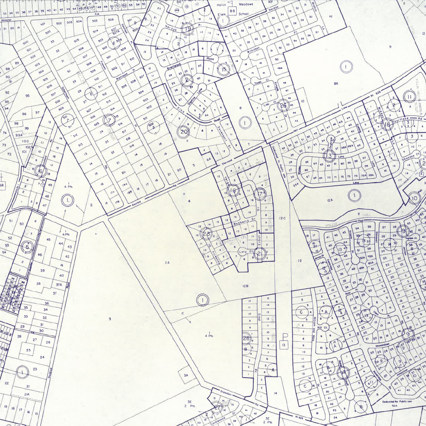
We constructed this map by locating parcels using each jurisdiction’s tax maps cross-referenced against their 1964 tax books. In a handful of cases, deeds, plat maps, Franklin Survey maps or Sanborn Fire Insurance Maps were cross-referenced.
Ilustration #2: Example of tax maps used to create map of Black owned property. Courtesy, Fairfax County Circuit Courthouse Archive.
How to use the map?
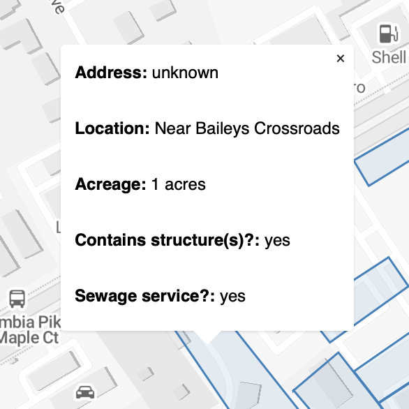
Click on a blue shaded lot to access a pop-up that lists the following: generalized location, acreage of the parcel, and any structure(s). For some parcels the street address and sewage line access are also listed. If the tax books did not provide this information, then the column was left blank. The acreage for most of Alexandria was calculated using the polygon size.
CLICK the button below to see the map of Black owned property in Northern Virginia for 1964.